About GRID3
Flowminder is a core implementing partner and founder of GRID3 (Geo-Referenced Infrastructure and Demographic Data for Development), a programme funded by the Bill & Melinda Gates Foundation and the United Kingdom’s Foreign, Commonwealth & Development Office (FCDO).
To deliver GRID3's mission, Flowminder has partnered with CIESIN at Columbia University and WorldPop at the University of Southampton, in collaboration with the United Nations' Population Fund (UNFPA), Esri and Fraym.

Mapping a path to sustainable development for everyone
— GRID3's vision
To build spatial data solutions that make development goals achievements
— GRID3's mission
GRID3 is facilitating the collection, analysis, integration, and use of geospatial data to support countries’ development priorities, humanitarian efforts, and Sustainable Development Goals (SDGs).
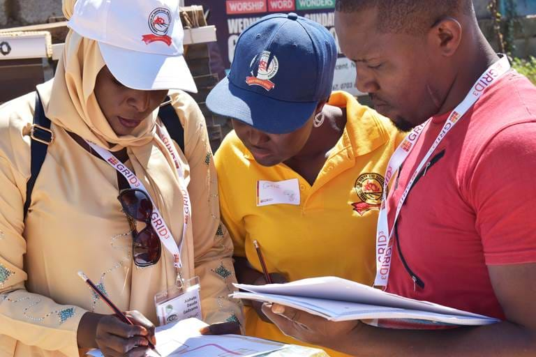
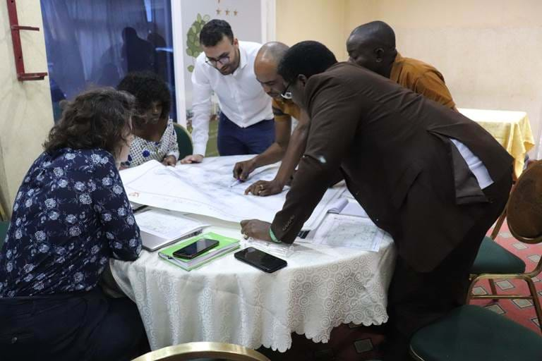
GRID3 combines the expertise of partners in government, academia, and the private sector to design adaptable and relevant geospatial solutions based on capacity and development needs of each country. The programme offers a unique and efficient approach, combining the highest resolution and most recent satellite imagery, dynamic modelling and newest scientific methods, and capacity strengthening services to ensure sustainable use of geospatial data nationally.
Origins of GRID3
GRID3 originates from the work in Nigeria to eradicate polio, and previous collaboration between Flowminder, UNFPA and WorldPop to produce high-resolution gridded population estimates for census under coverage in Afghanistan.
Flowminder in GRID3
As implementing partner, Flowminder is responsible for various technical work streams of the programme, in addition to contributing to the overall governance, management and communications/outreach activities of GRID3.
Strengthening capacity and enabling data use
Flowminder oversees GRID3’s capacity strengthening activities.
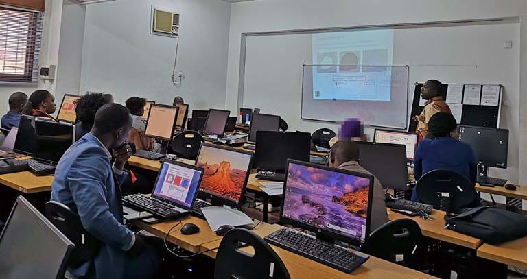
The training and technical assistance approach covers curriculum development (GIS, modelling, data use), in-country training sessions, regional workshops and blended and online learning. To reach and support as many data users and partners as possible, Flowminder has developed, and manages, GRID3’s learning management system (LMS), an interactive online learning platform accessible via learn.grid3.org.
To ensure that the benefits of GRID3’s work are sustainable over the long term, Flowminder’s training team put a strong emphasis on data applications across various sectors of activities.
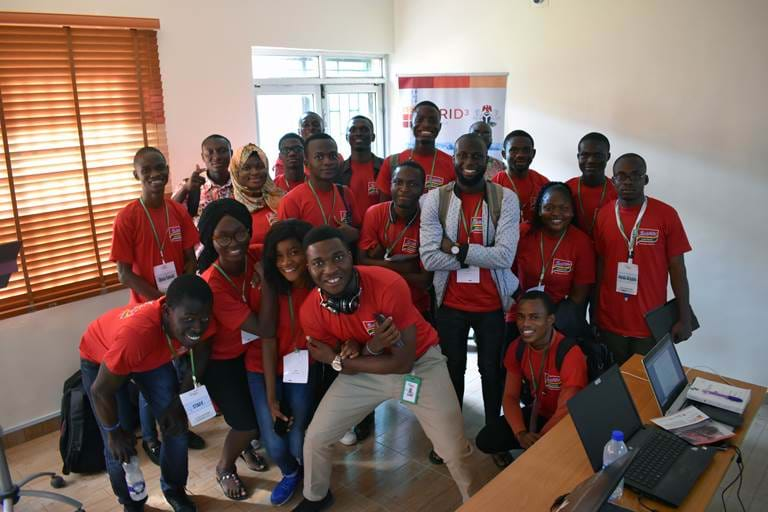
To run successful analyses and shape effective interventions, participants in GRID3 workshops must not only understand the theory around the power of geospatial data, but also be able to apply the techniques to the real world.
— Graeme Hornby, Flowminder Capacity Strengthening Lead
A sustainable approach
Flowminder ensures that GRID3 institutional capacity strengthening is made for sustainability and has developed a Trainer Support Programme approach to build a global community of geospatial data users and train the future generation of geospatial data experts.
To enable data use, the capacity strengthening strategy integrates on-the-job support, workflow improvements, tool development and automation.
Mobility analysis
Mobility analysis is at the heart of Flowminder’s activities.
To bolster governments’ access to timely and high-resolution data, Flowminder is delivering mobility analysis as one of the solutions offered under GRID3. GRID3 mobility analyses are conducted in close collaboration with government representatives, such as analysts at national statistical offices, based on access to mobile data aggregates produced and provided by mobile network operators from their Call Detail Records (CDRs).
To discuss how we can support you with mobility analyses, please contact us:
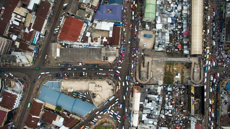
With mobility data extracted from Call Detail Records, Flowminder can add a dynamic perspective to GRID3 demographic data. Our experience in this sector has allowed the GRID3 partnership to expand its solutions and provide governments with timely and highly-needed data, particularly essential in responding to crises, such as the COVID-19 pandemic.
— Cathy Riley, Flowminder Director of Partnerships
Turning data into applications
In addition to capacity strengthening and mobility analysis, Flowminder experts are actively involved in ensuring that the methods and data produced by Flowminder and GRID3 partners meet governments’ needs.
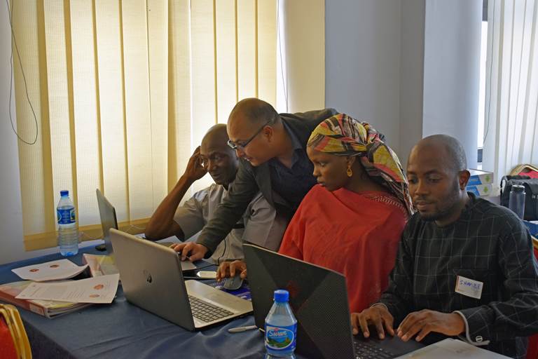
Amongst these activities, Flowminder works closely with in-country partners to inform service placement for maximum coverage, using its optimisation method, as well as to strengthen household surveys design and implementation through its GridSample tool.
Data for evidence-based decision making is Flowminder’s priority.
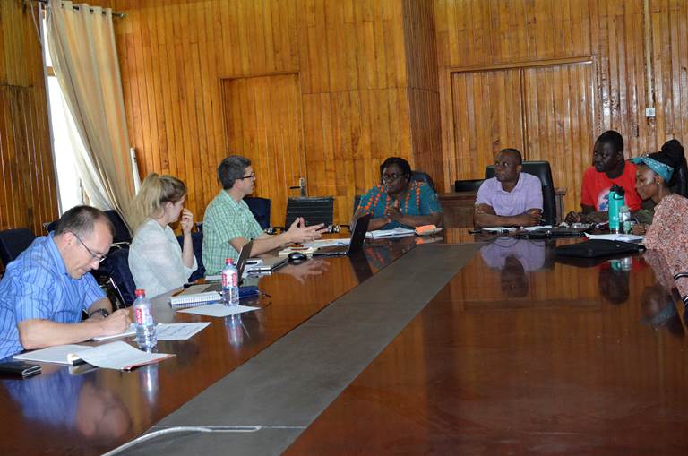
This is why our team of experts collaborate closely with data users in governments and the private sector to turn GRID3 data solutions into useful and actionable insights.
You can read about how we apply data for decision making on Flowminder’s website or on grid3.org. For collaboration enquiries, please contact us.
Site placement optimisation
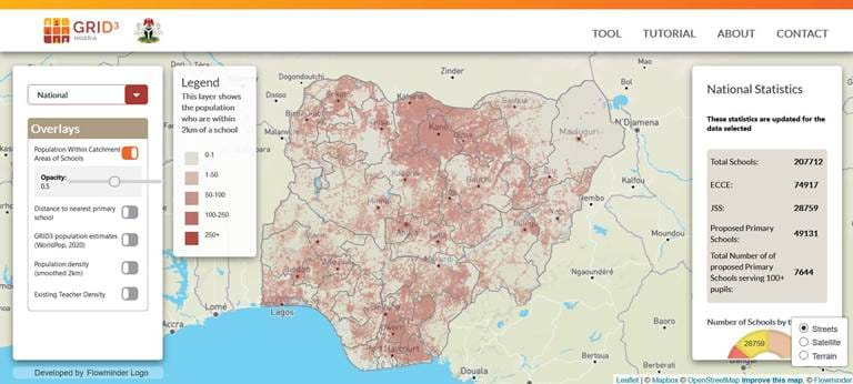
Enabling effective decisions to be made using GRID3 data is also a service that Flowminder delivers, with a particular emphasis, at this time, on geospatial analyses which identify, in ranked order, the optimal locations for new or upgraded services (such as schools, health facilities, vaccination sites, etc). Flowminder works together with planners to identify their parameters for such decision making, and uses algorithms designed to make the best use of GRID3’s data to recommend suitable locations from a spatial data perspective. Under GRID3, this work has been used so far to optimise school locations in Nigeria and vaccination sites in the Democratic Republic of the Congo.
Gridded survey methodology
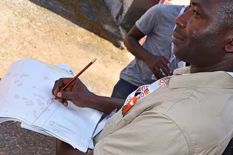
To enhance the accuracy of household surveys, Flowminder, through GRID3, is testing the use of new sampling approaches that aim to complement existing techniques. The gridded population survey sampling methodology designed via GridSample enables survey practitioners to design frames by utilising gridded population estimates. In addition to conducting training workshops on this method, Flowminder / GRID3 Nigeria carried out a pilot study in Kaduna State in February-March 2020 to compare the gridded survey results with those from Nigeria 2020 SMART nutrition survey. You can read more about this work on the grid3.org website.
GRID3 Mapping for Health
Supported by Gavi through its INFUSE initiative, GRID3 Mapping for Health in the Democratic Republic of the Congo (DRC) is a Ministry of Health initiative, delivered in partnership with Flowminder and the Center for International Earth Science Information Network at Columbia University (CIESIN). The project is a continuation of previous work conducted and/or supported in DRC by the GRID3 programme.
Strengthening the effectiveness and equity of vaccination interventions in DRC
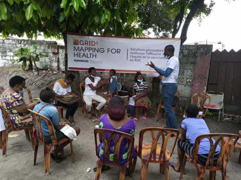
GRID3 Mapping for Health aims to strengthen the effectiveness and equity of vaccination interventions in DRC through timely access to high-resolution geospatial data solutions. The project directly supports DRC's Mashako Plan goal to boost vaccine coverage by 15% per each targeted province, protecting 220,000 additional children nationally by contributing to more effective and equitable vaccination interventions.
